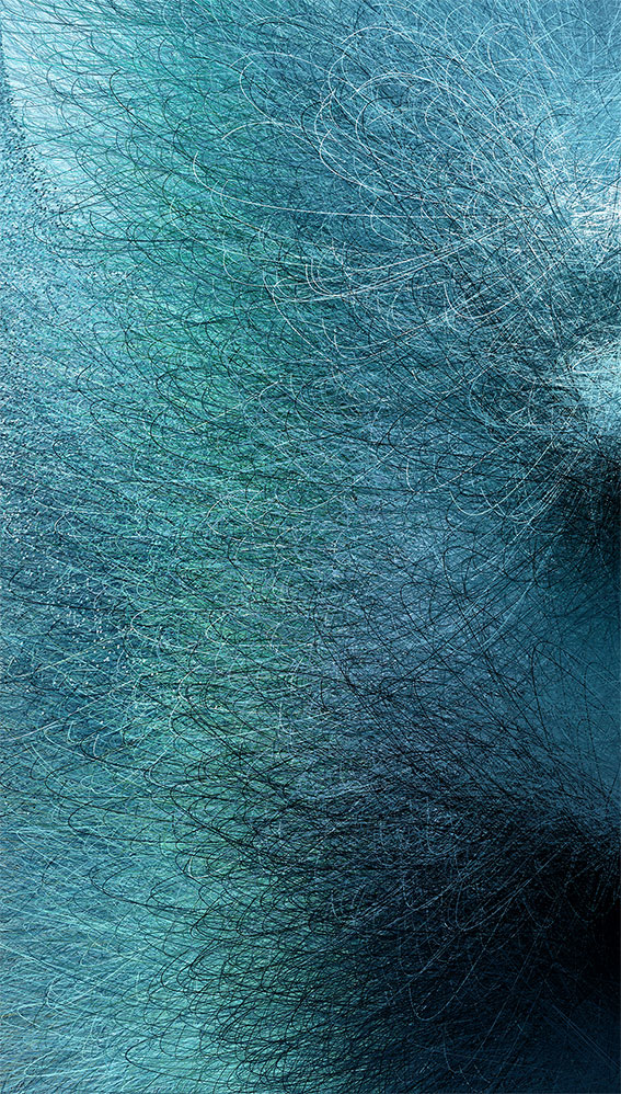
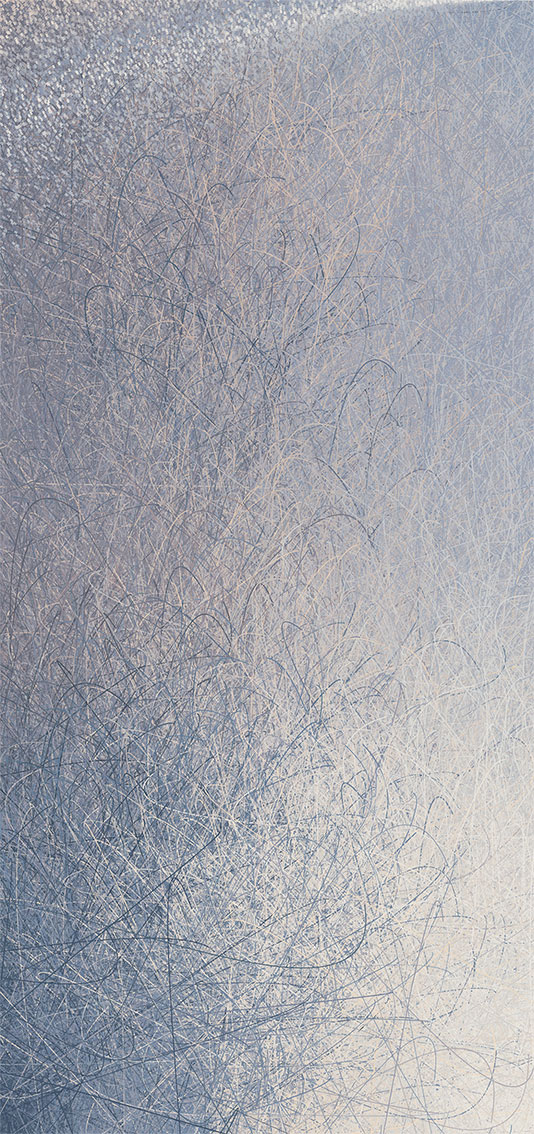
The work ///data-river-flow seeks to re-signify human-data-landscape relations, intervening in the code of operation of digital images. What we propose with the work is a resumption of attention to these invisible operations of images. The method was to subvert the geolocation logics (real coordinates in physical space) of photographs of rivers present in personal databases and include them as decentralization vectors in the programming of a digital image (virtual space code lines) through the software P5.js. By codes we understand the entire layer that makes up the images, the result is abstract images in which the disruption of pixels programmed from the numerical data of geographic coordinates, reveal their movement and disruption in the automatic processing logic of digital images, presented in GIF format, a format that highlights the hybridity of the image located on the boundaries between photography and animation.
")
")
The Kōdos collective is made up of Brazilian multimedia artists Cláudio Filho and Fernanda Oliveira who seek to poetically intervene in spaces destined for scientific and technological exploration. His works articulate landscapes, bodies, photographs, databases, data communications networks, and emerging technologies with the criticism of such systems. Our motivation is to articulate and imagine strategies to reframe the relationship between the living and nonliving, human and nonhuman beyond the modern epistemological heritage. Our main focus is to invite attention to the stories of beings, landscapes, technologies through hybrid systems.